

Visual Impact Assessment
If your project may require a Visual Impact Assessment, you do not necessarily need to have every document prepared before the assessment can be discussed. What matters first is having enough information to understand the proposal, where it will sit and the visual environment in which it may be experienced.
In Brief
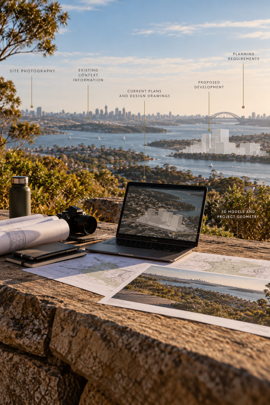
The information needed for a Visual Impact Assessment depends on the project, planning pathway and assessment scope. Useful starting information may include site details, current design drawings, proposed heights and dimensions, survey or topographic information, existing site photography, planning requirements and relevant information about materials, landscaping or lighting. You do not necessarily need every possible document before making an enquiry — the available project information can first be reviewed to determine what the assessment requires.
Start with enough information to understand the proposal
A Visual Impact Assessment examines the potential visual effects of a proposed change. Before those effects can be considered, the proposal itself needs to be understood with sufficient clarity.
At an early stage, that usually means establishing what is proposed, where it will be located and the main physical characteristics that may influence its appearance. The exact information required will vary considerably between a new building, an addition, infrastructure, a larger development or another visually relevant change.
Rather than treating the process as a fixed document checklist, it is more useful to think about the information needed to define the project and support the particular visual questions being assessed.
Site and location information
The assessment first needs to establish where the proposed development sits within its surrounding environment. A site address and site plan will often provide the starting point, supported by other location information where relevant to the project.
Useful information may include the site boundary, survey information, existing and proposed levels, topographic information, nearby roads or public areas and the location of existing buildings, structures or vegetation that may influence the visual setting.
Not every project will require the same level of site information. The purpose is to establish enough spatial context to understand where the proposal is located and how its visual relationship with the surrounding environment may need to be investigated.
Current plans, elevations, heights and project dimensions
Current design drawings are often among the most useful inputs because they define the scale, position and form of the proposed development.
Depending on the proposal, relevant documentation may include site plans, elevations, sections, roof plans, proposed levels, overall heights, setbacks and other dimensions that help establish the external form of the project. Floor plans may also be useful where they contain information needed to understand the geometry or built form.
The most recent drawing set should be provided where possible. If several design versions are circulating, identifying which version is current helps ensure the visual assessment is based on the proposal that is actually progressing through the project.
For projects where height, massing or location is still evolving, it is also useful to identify which elements are fixed and which remain subject to design development.
When are 3D models or digital project information useful?
For some projects, three-dimensional design information can help define the proposed form more accurately than two-dimensional drawings alone.
If a current 3D, CAD or BIM model already exists, it may be useful to the assessment, particularly where the proposal has complex geometry or where visual representations form part of the required evidence. Digital survey or terrain information may also be relevant depending on the project and scope.
A 3D model is not a universal requirement for every Visual Impact Assessment. The appropriate inputs depend on what needs to be assessed and the level of visual evidence required for the project.
A Visual Impact Assessment can only assess the proposal that has been defined. The clearer its location, scale, form and visual characteristics are, the more reliably potential visual change can be examined.
Existing site and surrounding context information
Understanding the proposed development also requires an understanding of the visual environment into which it would be introduced.
Existing site photographs can provide useful early context, particularly when they show the site, adjoining development, vegetation and surrounding visual conditions. Survey information, existing site plans and other available project documentation may also help establish the physical context.
Potential visibility may also help identify surrounding areas that warrant further investigation. However, visibility alone does not establish the significance of a visual effect. That distinction is explored in Visibility vs Visual Impact: Why Being Visible Does Not Automatically Mean High Visual Impact.
The information needed at this stage should remain proportionate to the assessment. A Visual Impact Assessment may draw on site and contextual information without replacing a broader Site & Contextual Analysis where that is separately required.
Planning and authority requirements
If visual assessment requirements have already been identified through the planning process, providing them at the beginning can help define the assessment scope.
Relevant information may include planning correspondence, a council or consent authority request, project-specific assessment requirements, Secretary's Environmental Assessment Requirements where applicable, or comments received during an earlier stage of the application.
These documents can identify particular matters that need to be addressed. Depending on the project, they may nominate viewpoints, require particular visual material or establish specific issues that the assessment needs to consider.
Providing this information early helps avoid treating the VIA as a generic report when the planning pathway has already established project-specific requirements.
When do materials, colours, landscaping and lighting matter?
The external appearance of a proposal is not defined by its dimensions alone. Where relevant to the assessment, materials, colours, finishes, glazing, landscaping and external lighting may influence how the development is experienced within its visual setting.
If these elements are sufficiently developed, providing schedules, landscape plans, elevations, renders or other design information can help establish the intended visual condition more clearly.
For some projects, proposed vegetation or screening may also form part of the visual information being considered. Where future planting is relevant, its role should be understood in the context of the assessment rather than assumed to remove an impact automatically.
Not every VIA requires detailed material, landscape or lighting information. Their relevance depends on the proposal and on which aspects of visual change need to be assessed.
Do I need to provide the viewpoints?
Not necessarily. In some projects, particular viewpoints may already have been nominated by a council, consent authority, project brief or earlier assessment. If they have, that information should be provided with the other planning documentation.
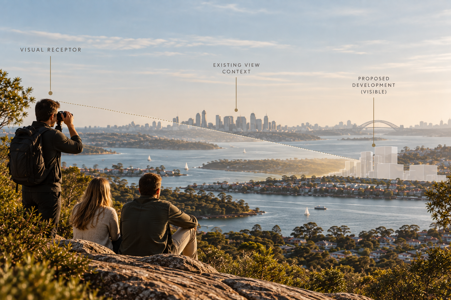
Where viewpoints have not already been established, representative locations may be identified as the assessment develops. Their selection should relate to the proposal, potential visibility, relevant visual receptors and the visual conditions that need to be understood.
For a closer explanation of that process, see How Are Viewpoints Selected for a Visual Impact Assessment?
Does the design need to be final before a VIA can begin?
A design does not necessarily need to be completely final before visual assessment work begins, but it needs to be sufficiently defined for the visual characteristics being assessed.
At some project stages, location, height, massing and general form may already be sufficiently developed even though smaller design details are still being resolved. In other cases, unresolved design elements may be central to the visual question and need further development before reliable assessment can occur.
If the proposal changes materially after assessment work has begun — particularly its location, height, scale, massing, form or other visually relevant characteristics — the affected visual evidence and conclusions may need to be reviewed or updated.
What if some project information is still missing?
Missing information does not necessarily mean you need to wait before having the project reviewed.
If you already have a site plan, current drawings, survey, planning correspondence or other project documentation, those materials can provide a useful starting point. The available information can be reviewed to identify what is already sufficient and what additional information may be needed for the proposed assessment.
This is particularly useful where the planning requirement itself is unclear. You may know that visual effects need to be addressed without yet knowing whether the project requires a full Visual Impact Assessment, particular visual evidence or another form of visual analysis.
In that situation, it is usually more useful to review the actual project information than to assemble documents against a generic checklist.
Preparing your project for review
If you are preparing to have a project reviewed, start with the information that already exists rather than trying to create a complete VIA package yourself.
Current plans and elevations, site and survey information, planning correspondence and any existing visual or design material can help establish the project scope. If particular authority requirements or nominated viewpoints have already been provided, include those as well.
From there, the remaining information requirements can be considered in relation to the actual proposal rather than assumed in advance.
If you are still establishing the broader assessment pathway, the Visual Impact Assessment guide explains how VIA fits within the planning and design process.
Continue Reading
How are viewpoints selected for a Visual Impact Assessment?
Once the proposal and surrounding context are understood, representative viewpoints can help examine how visual change may be experienced from relevant locations.
Read how VIA viewpoints are selected →Project Review
Have plans or project information ready?
You do not need to determine the complete Visual Impact Assessment scope before getting started.
Send us your available plans, drawings and planning information. We can review the project documentation and help identify the appropriate visual assessment pathway and what additional information may be needed.
Start Your Project