

Viewshed Modelling
Viewshed Modelling for Urban Development and Site Planning
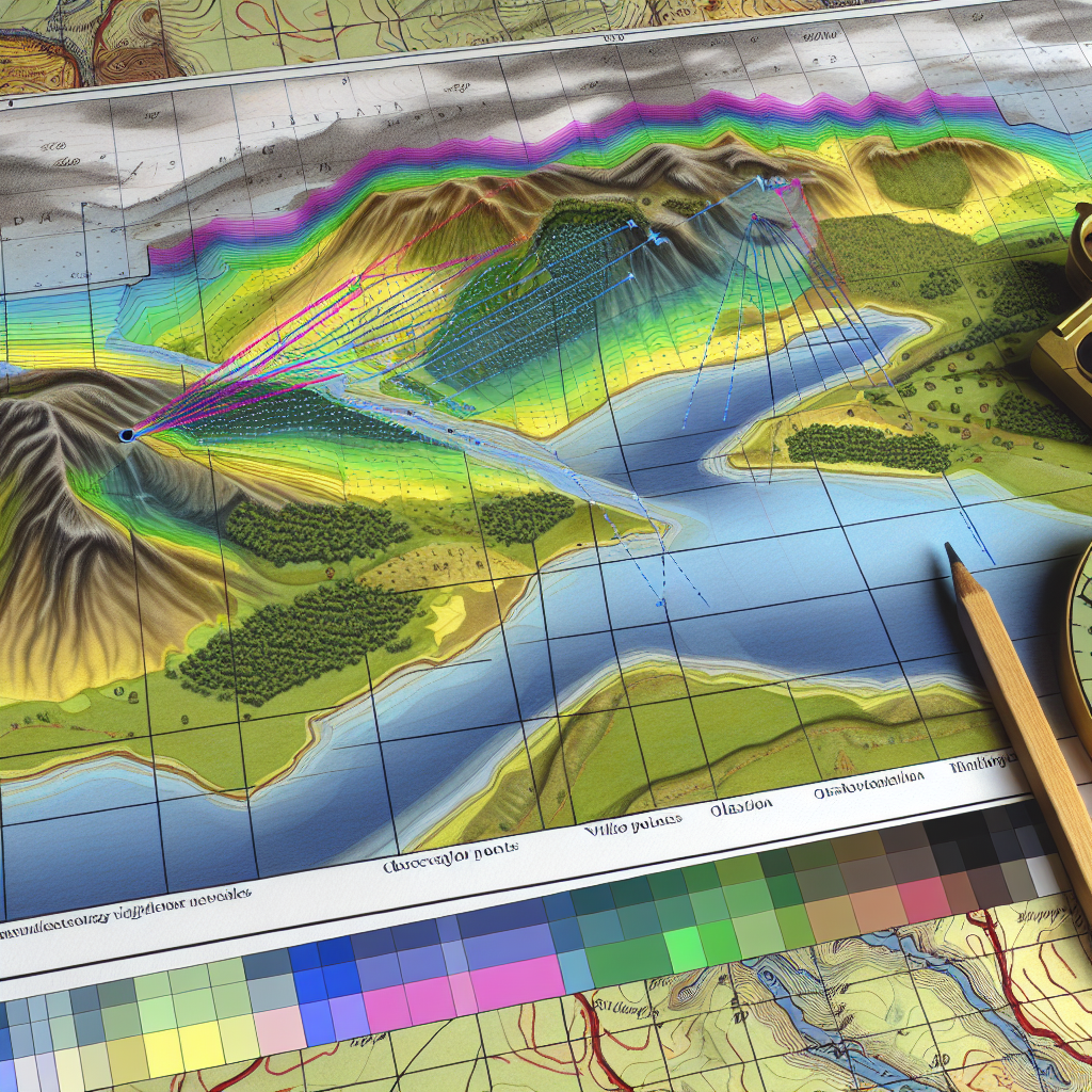
Viewshed modelling helps project teams understand where a proposed building, structure or development may be visible from within its surrounding urban, landscape or planning context.
In urban development and site planning, visibility can become a practical design and planning question. A proposal may be visible from public roads, reserves, neighbouring streets, elevated land, waterways, ridgelines or other surrounding viewpoints.
Viewshed modelling provides a spatial way to understand these relationships before planning or design decisions are finalised. It considers line of sight, terrain, observer points, public viewpoints and proposed built form so that project teams can better understand where visibility may matter.
In Brief
How viewshed modelling supports early planning
Why viewshed modelling matters in site planning
Site planning is not only about what fits within a boundary. It is also about how a proposal sits within its surrounding context. Height, massing, terrain, streetscape structure and public viewpoints can all affect how visible a development becomes.
Viewshed modelling helps project teams identify where a proposed building or structure may be seen from, where visibility may be screened and which viewpoints may need closer consideration.
This can be useful early in the design process, during development application preparation or when responding to council, community or consultant questions about visual exposure.
How visibility modelling supports urban development
Urban sites often involve layered visibility conditions. A proposal may be screened from one street but visible from an elevated road, public reserve or neighbouring ridgeline.
Built form visibility
Viewshed modelling can help identify whether the whole proposal, upper levels, roof forms or specific structures may be visible from surrounding locations.
Public viewpoint review
Roads, reserves, parks, waterways, lookouts and shared public spaces may be selected as observer points where visibility needs to be understood.
Terrain and context
Landform, slopes, valleys, ridgelines and surrounding buildings can increase, reduce or interrupt line of sight.
Early design testing
Visibility findings may help compare siting, height, massing, roof form, screening or landscape response options before a design is finalised.
Line of sight as a planning question
Line of sight analysis considers whether there is a direct visual relationship between an observer location and the proposed building or structure.
In practical planning terms, this helps answer whether a proposal may be seen from a relevant location and whether terrain, existing buildings, vegetation assumptions or distance may limit that visibility.
Viewshed modelling is useful because it gives project teams a clearer spatial basis for discussion. Instead of relying only on assumption, the team can identify where visibility is likely to occur and where further review may be appropriate.
Project types that may benefit from viewshed modelling
Viewshed modelling is not required for every project. It is most useful where visibility, public viewpoints or visual exposure may influence planning or design decisions.
Viewshed modelling is not the same as visual impact assessment
Viewshed modelling identifies where a proposal may be visible from. It is spatial, technical and focused on visibility, line of sight and context.
Visual impact assessment usually goes further by interpreting the sensitivity of viewpoints, the magnitude of visual change, landscape character and the planning significance of visual effects.
This distinction is important. Viewshed modelling can be a standalone visibility study where the planning question is narrow, or it can act as a technical input into a broader Visual Impact Assessment where more detailed interpretation is required.
How viewshed modelling supports development applications
A development application may require clearer visibility information where a proposal is visually exposed, located near public viewpoints or likely to raise questions about landscape or urban context.
Viewshed modelling can support DA documentation by showing where a proposal may be visible from, which viewpoints may be relevant and whether further visual assessment should be considered.
It does not guarantee an approval outcome or replace planning advice. Its role is to provide clearer visibility evidence so that the planning discussion can be more informed.
How Certified Energy approaches viewshed modelling
Certified Energy provides viewshed analysis and modelling as part of its design and planning intelligence services. The work is supported by Urbanfinity spatial data capability and interpreted through an architectural planning lens.
This means the assessment is not treated as a generic visual statement. It combines spatial data, terrain context, line of sight thinking, public viewpoint relevance and practical project interpretation.
The aim is to help project teams understand where visibility may matter, what the modelling can show and whether further design, planning or visual impact assessment work may be needed.
Viewshed modelling FAQ
What is viewshed modelling used for?
Viewshed modelling is used to identify where a proposed building, structure or development may be visible from. It can support site planning, development application material, public viewpoint review and early design testing.
Is viewshed modelling useful for urban development?
Yes. It can help assess whether a proposal may be visible from roads, reserves, elevated land, neighbouring streets, waterways or other relevant public viewpoints.
Does viewshed modelling replace visual impact assessment?
No. Viewshed modelling identifies visibility. Visual impact assessment usually goes further by interpreting viewpoint sensitivity, landscape character, magnitude of change and planning significance.
When should viewshed modelling be considered?
It should be considered when visibility, line of sight, public viewpoints, elevated sites or surrounding landscape context may affect the planning or design pathway.
Related Guidance
Continue reading about viewshed and planning visibility
Service Guide
Viewshed Analysis
Review the main service page for visibility mapping, line of sight and planning support.
Project Need
When Do You Need a Viewshed Analysis?
Check the common signs that a project may need visibility evidence.
Council Requests
Why Councils Request Viewshed Analysis
Understand why visibility evidence may be requested during a development application.
Site Visibility Review
Need to understand how visible your proposal may be?
If your project may raise visibility, line of sight or public viewpoint questions, Certified Energy can review your site and advise whether viewshed analysis is suitable.
Send Project DetailsLast reviewed: July 2026. This article forms part of the Certified Energy Viewshed Analysis Knowledge Hub.