Viewshed Analysis
Why Councils Request Viewshed Analysis for Development Applications
Councils may request viewshed analysis when a proposed development needs clearer evidence about where it may be visible from and how it relates to surrounding public viewpoints, terrain or landscape context.
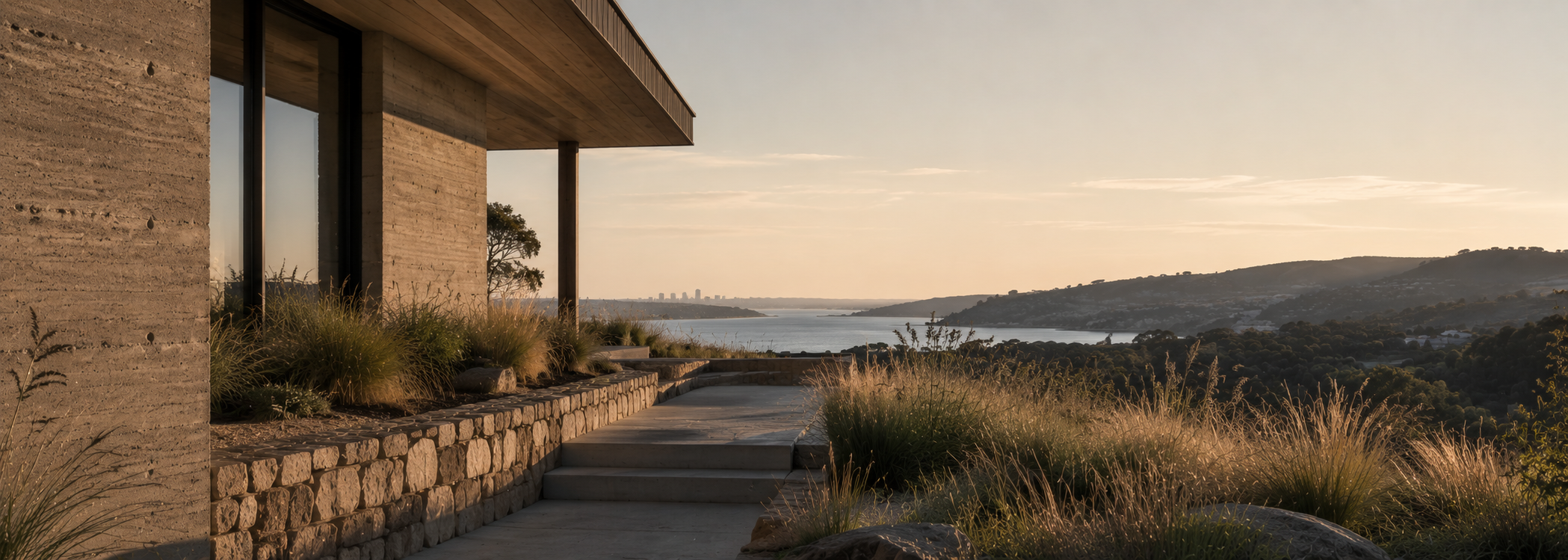
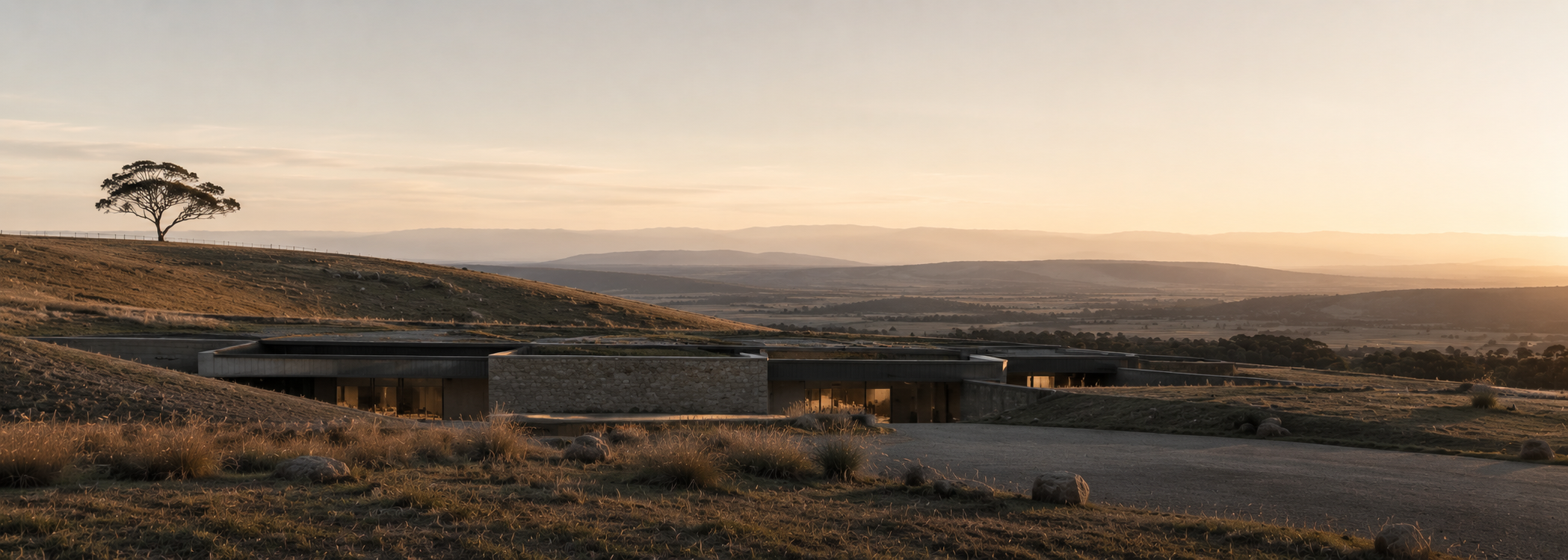
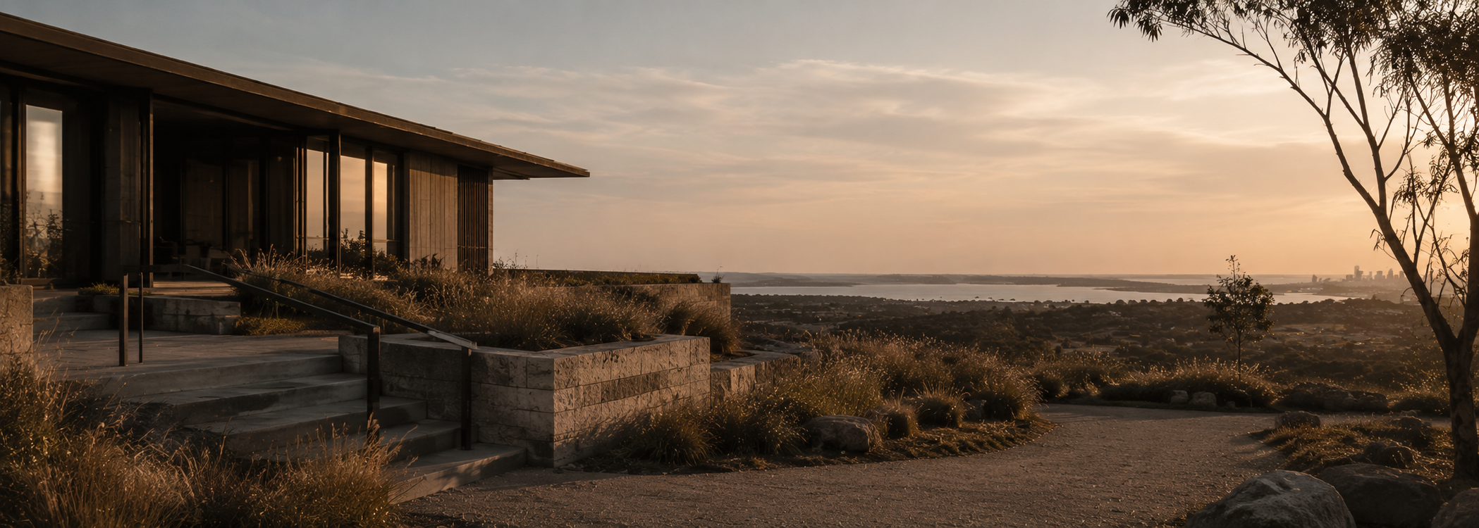
Visibility can become an important planning question when a proposal is located on an elevated site, near a ridgeline, within an open landscape, close to public reserves or in an area where built form exposure may affect the way the development is understood.
Viewshed analysis helps clarify these questions by identifying where a proposed building, structure or development may be visible from. It provides visibility evidence that can support development application material, council responses and design coordination.
When councils may ask for viewshed analysis
Viewshed analysis is not required for every development application. It is more likely to be requested when visibility is relevant to the site, proposal or planning context.
A council may ask for clearer visibility information where a project could be seen from public roads, reserves, lookouts, waterways, neighbouring streets, scenic corridors or elevated land. The request may also arise where community submissions, planning advice or design review comments raise concerns about visual exposure.
The purpose is not simply to produce a visual graphic. The purpose is to help the assessment process understand where the proposal may be visible from and whether further design, planning or visual impact work may be needed.
What council is usually trying to understand
A council request for viewshed analysis usually comes back to a practical visibility question. The assessment helps move the discussion from assumption to clearer site evidence.
Where the proposal may be visible from
Visibility mapping can help identify surrounding areas, roads or viewpoints that may have line of sight to the proposed development.
Which viewpoints are relevant
Public viewpoints, reserves, roads, waterways and elevated locations may be more relevant than incidental or low-sensitivity views.
How terrain affects visibility
Landform, slopes, valleys, ridgelines and existing context can increase, reduce or interrupt visibility from surrounding locations.
Whether further assessment is needed
A focused viewshed analysis may help determine whether a broader visual impact assessment should be considered.
Developments that can trigger visibility questions
Council visibility questions can arise across many project types. The trigger is usually not the building type alone, but the relationship between the proposal, its height or form and the surrounding viewing context.
Projects on exposed land, near public open space, close to scenic corridors or within visually sensitive settings are more likely to need clear visibility evidence.
Viewshed analysis does not replace visual impact assessment
A council request may refer generally to visual impact, but viewshed analysis and visual impact assessment are not the same thing.
Viewshed analysis identifies visibility. It looks at where a proposal may be visible from, whether line of sight exists and how terrain or surrounding context affects visual exposure.
Visual impact assessment usually goes further by interpreting the sensitivity of viewpoints, the magnitude of change, landscape character and planning significance. In some cases, a viewshed analysis may be enough to clarify the visibility question. In other cases, it may become a technical input into a broader visual impact assessment.
How early viewshed analysis can support the DA process
Visibility questions are easier to manage when they are understood early. If a design team waits until late in the development application process, visibility concerns may become harder to respond to without revisiting design or documentation.
Early viewshed analysis can help architects, planners and developers understand whether a proposal is likely to be visible from sensitive or public locations. This can inform siting, building height, roof form, screening, landscape strategy or the need for additional visual documentation.
The value is not in guaranteeing a planning outcome. The value is in giving the project team clearer evidence before subjective visual concerns become difficult to resolve.
How Certified Energy responds to council viewshed requests
Certified Energy provides viewshed analysis as part of its design and planning intelligence services. The assessment is supported by Urbanfinity spatial data capability and interpreted through an architectural planning lens.
This allows the work to combine terrain context, line of sight thinking, public viewpoint relevance and practical project documentation. The aim is to provide clear visibility information that can support planning discussion and help the project team understand the next step.
Where a council request is specific, Certified Energy can review the request, site information and available drawings to advise whether a focused viewshed analysis is appropriate or whether broader visual impact assessment support may be required.
Council Request
Has council requested visibility information?
If your development application requires clearer information about visibility, line of sight, public viewpoints or landscape exposure, a focused viewshed analysis may help clarify the planning question.
Send your council request, site address and available drawings. Certified Energy can review the material and advise whether viewshed analysis is suitable for your project.